Jacksdale & Westwood - Part 01 - Wharf Green
w/e 11 July 2010
All this week's pictures were taken
with a Kodak DX6490
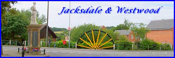
Jacksdale and Westwood are two inter-linked villages
in the Ashfield District of Nottinghamshire but lie alongside
the River Erewash right on the border with Derbyshire. They are
former mining villages typical of the area and like so many others,
on first appearance, have struggled to recover from the closing
of the pits. For this series I am again using a leaflet picked
up somewhere (I don't remember where) that includes a number
of maps with a numbered list of of sites within the villages.
Little information is given about each of the sites so this will
be as much of mission of discovery for me as it is for you. We
both have the benefit though of the Jacksdale & Westwood Community web site
which soon dispels those first impressions and shows that although
the major source of employment has disappeared, the community
spirit is as strong as ever.
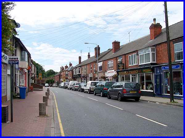
  We arrived in Jacksdale along Main Road
which is shown on the leaflet as being the main shopping centre
with numerous small retail businesses essential for village life
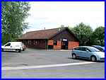
plus a Post Office, a dentist and a doctor. We parked on the
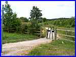
free car park at the Community Centre (left) - evidence again
of a close-knit community - and took a footpath (right) to the
area marked as Wharf Green. We arrived in Jacksdale along Main Road
which is shown on the leaflet as being the main shopping centre
with numerous small retail businesses essential for village life
plus a Post Office, a dentist and a doctor. We parked on the
free car park at the Community Centre (left) - evidence again
of a close-knit community - and took a footpath (right) to the
area marked as Wharf Green.
|
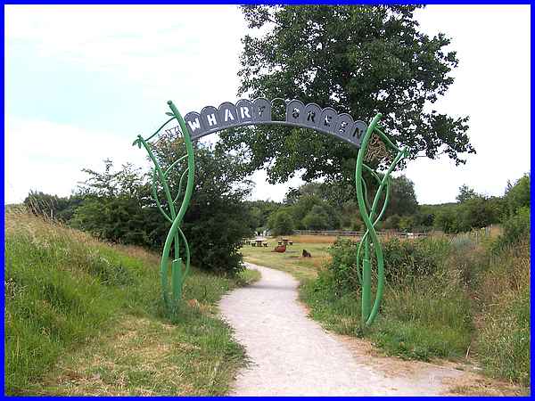
An arched structure over the path leaves the visitor in no doubt
about the area which was once part of an industrialised landscape
that featured a canal basin with a railway station, viaduct and
a row of cottages built in 1812 by the Butterley Company. The
cottages, the first row of terraced houses in Jacksdale, were
demolished in 1968, the wharf being filled in sometime during
the 1950s but the area now developed as Wharf Green took shape
during 2004 and 2005.
|
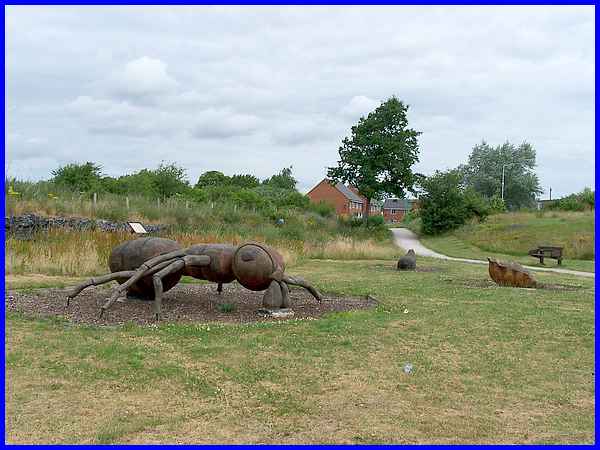
Local schoolchildren were involved in designing the area along
with the professionals and some also worked with sculptor Andrew
Frost to create several wooden animals including a giant ant.
|
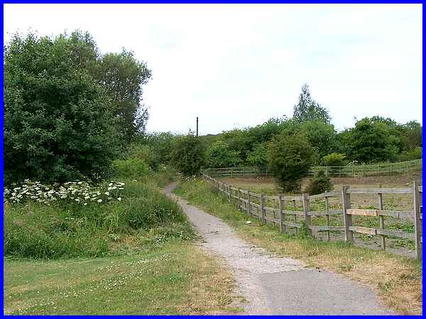
This path from Wharf Green leads to a footbridge over the River
Erewash and I found a note on a map in the leaflet saying "Footpath
into Derbyshire" quite amusing as the bold type seemed to
indicate it would be a journey into the world outside and the
great unknown.
|
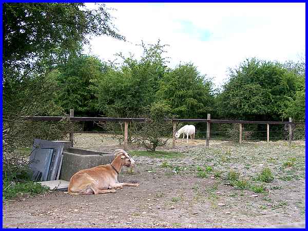
A corner of the area has been given over to a couple of paddocks
where ponies and goats live side by side.
|
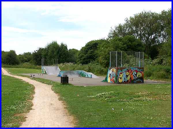
Another feature of the design is a skate park and although deserted
whilst we were there, it appears to be well used. This path by
the skate park continues to the trees at the southern end of
the site which is where the Jacksdale Nature Reserve has been
created.
|
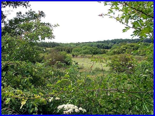
The path continues through the trees but an occasional gap offers
views across the River Erewash and the disused Cromford Canal
into that "great unknown" of Derbyshire beyond.
|
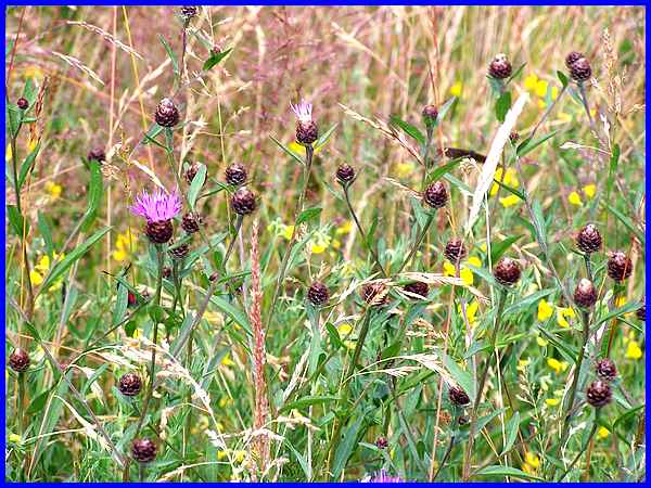
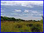 The Nature Reserve
is bounded by trees and bushes but the majority in the centre
is given over to grassland (left) created on the site of an old
domestic refuse tip in 1974. The grassland has a lot of moisture-loving
plants as it tends to become waterlogged during the winter months
but at this time of year it is inhabited by several species of
butterfly. They were flitting around us all the while we were
in the Nature Reserve but proved extremely difficult to photograph
and despite all attempts I only managed to capture the grasses
and wild flowers (above) upon which they were feeding. Species
of butterfly commonly The Nature Reserve
is bounded by trees and bushes but the majority in the centre
is given over to grassland (left) created on the site of an old
domestic refuse tip in 1974. The grassland has a lot of moisture-loving
plants as it tends to become waterlogged during the winter months
but at this time of year it is inhabited by several species of
butterfly. They were flitting around us all the while we were
in the Nature Reserve but proved extremely difficult to photograph
and despite all attempts I only managed to capture the grasses
and wild flowers (above) upon which they were feeding. Species
of butterfly commonly 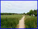 seen
are meadow brown, common blue, comma, small tortoiseshell and
peacock plus the burnet moth. seen
are meadow brown, common blue, comma, small tortoiseshell and
peacock plus the burnet moth.
It is not unusual to see kestrels and skylarks overhead and a
flash of colour near the river could well be a kingfisher. But
pressing on the path out of the Nature Reserve (right) led us
back to the recreation ground on Wharf Green, past the toddler's
play area and back to the Community Hall car park. It is from
there that we will resume in Part 02.
|
