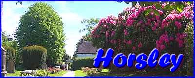
Horsley - Part 01 - From Pub To School
w/e 26 May 2019
All of this week's pictures were
taken with a Kodak DX6490
Click here to open a new window showing a map
of the area at streetmap.co.uk
As can be seen from the map Horsley Village consists mainly of
one road running west/east with another joining it from the south
forming a triangular road junction. It is also served by numerous
ancient footpaths linking it to surrounding villages but in this
walk through Horsley, apart from one foray into a field, we'll
stick to the road network and start at that triangular road junction.
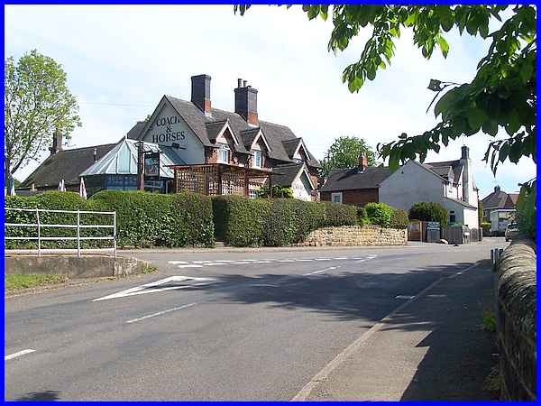
Although only small Horsley has all the necessary requisites
including a school, village green, village hall, church, even
a golf course just outside the village centre and of course the
village pub. The pub, the Coach and Horses, stands on Church
Street just to the east of the triangular junction with Smalley
Mill Road.
|
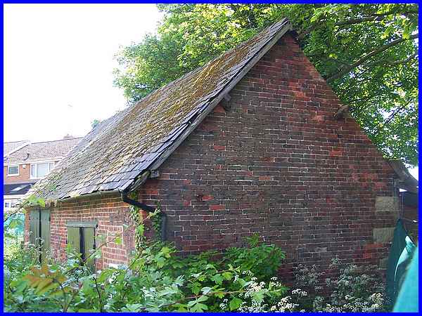
Directly opposite the pub is a building which has obviously seen
better days but this is marked on maps as The Old Barrel Store
so presumably is a former outbuilding belonging to the Coach
and Horses.
|
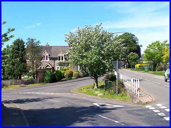
Our route now will take us along Church Street past the junction
known locally as the Traingle, Smalley Mill Road on the left
but first there's a structure in the shade of the tree that needs
inspection.
|
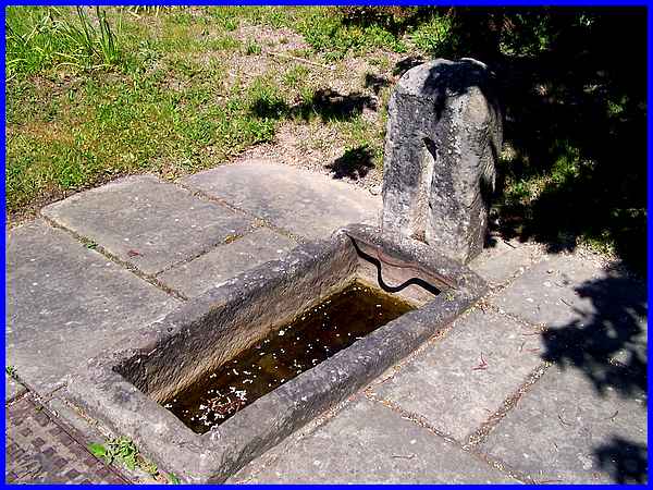
This is the first of three fountains that were given to the village
in 1864 by the Rev. Sitwell, a relative of the Sitwell family
of Smalley's Stainsby Hall fame. The fountains dispensed spring
water that was pumped into the village and they were named after
daughters of the Sitwell family. This one is called Rosamund.
|
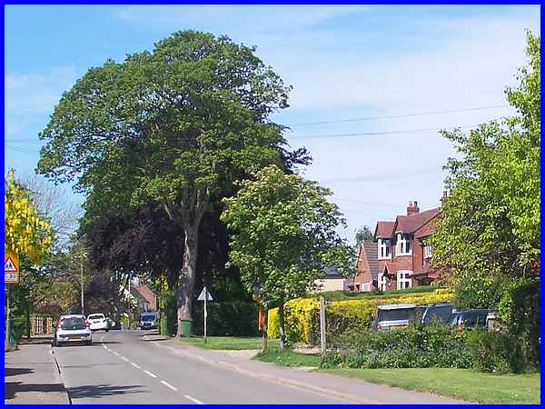
Church Street is lined with mature trees and makes for a pleasant
walk to the far end but it is at the wooden post on the right
that we leave the main road to make that foray into the fields.
|
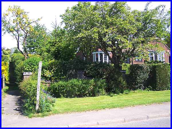
The narrow footpath seen here on the left leads up between the
houses and through a squeeze stile into the field. A right turn
once there will take you across the fields to neighbouring Horsley
Woodhouse.
|
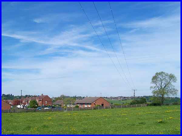
It is to the left however under the electricity lines that another
path leads to the end of The Dovecote where the map I referred
to when researching Horsley show a "War Memorial".
|
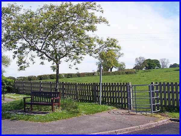
After passing through the kissing gate and onto The Dovecote
there is no sign of such a memorial but there is a bench in the
shade of a tree.
|
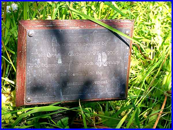
In the grass at the foot of the tree is a small plaque which
shows that "This tree was planted by Horsley and Coxbench
W.I. in 2005 to commemorate the 90th anniversary of the founding
of the Women's Institute movement." So there is a memorial,
just not a war memorial as such.
|
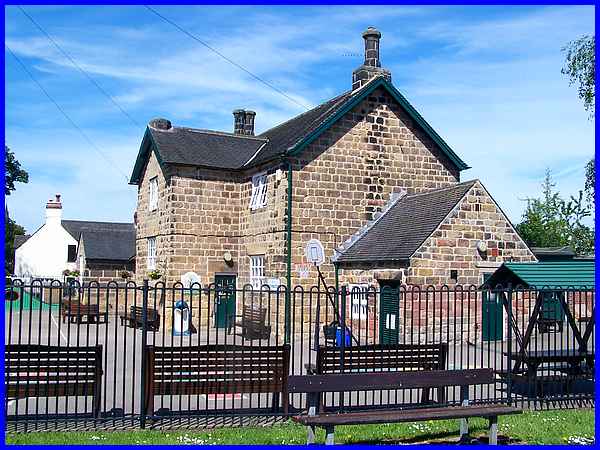
At the far end of The Dovecote and on the corner with Church
Street is the village school. This is the Horsley Church of England
Primary School which was established here in November 1878.
|
