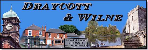
Draycott & Wilne - Part 07 - Watery Wilne
w/e 03 February 2013
All this week's pictures were taken
with a Kodak DX6490
In this final part of our look at the villages of
Draycott and Wilne we pick up the route at St Chad's Church and
continue down the lane to end our walk at the River Derwent but
first we'll take a look at St Chad's Water.
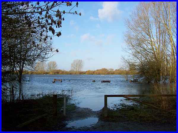
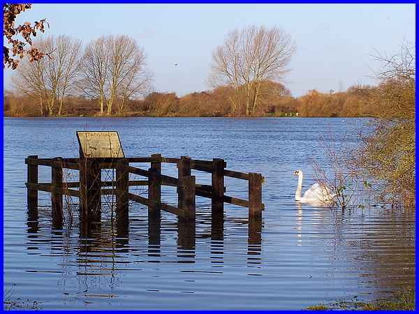
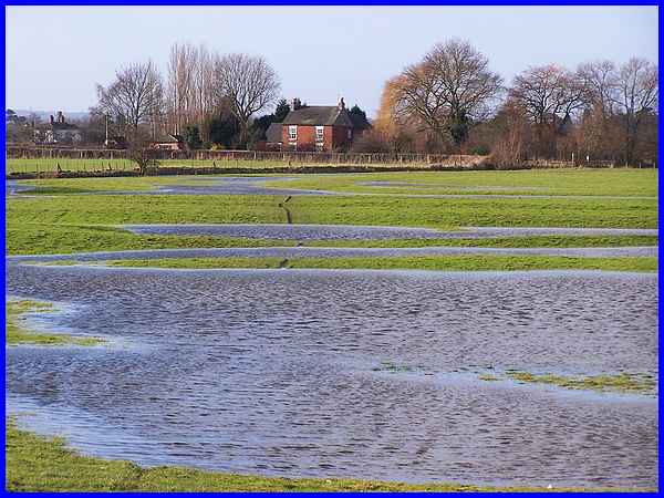
And basically a look at St Chad's Water was all that was possible
on this visit as the melt water from the recent snows had filled
the former gravel pit opposite the church to capacity and then
some. The path from the small car park adjacent to the Nature
Reserve to the usual edge of the water was completely covered
and the seats appeared like islands and were only usable by the
resident waterfowl.
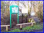 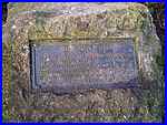 Notice boards (left) carry temporary
information on one and permanent advice on the other. A plaque
on an adjacent boulder reads: "This area of water and surrounds
was purchased by the Draycott Parish Council from Tarmac Roadstone
(Eastern) Ltd on 18th May 1984 as an open space for the benefit
of the residents of Draycott and Church Wilne. The use of this
area is subject to the laws of this Parish." Notice boards (left) carry temporary
information on one and permanent advice on the other. A plaque
on an adjacent boulder reads: "This area of water and surrounds
was purchased by the Draycott Parish Council from Tarmac Roadstone
(Eastern) Ltd on 18th May 1984 as an open space for the benefit
of the residents of Draycott and Church Wilne. The use of this
area is subject to the laws of this Parish."
|
On a previous visit to St Chad's Water I was able to walk onto
a raised viewing platform at the water's edge to read another
information board that gives details about some of the wildlife
to be seen in the Nature Reserve but such was the height of the
water that it was not possible on this occasion.
|
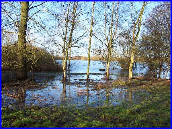
We've also visited St Chad's Water both independently (see here for visit in 2004) and as part of
a group in the Autumn Footprints Walking Festival when we've
been able to follow a path all the way round the lake. Presently
the anti clockwise route is not at all visible because of the
high water level and although we were able to follow the path
in a clockwise direction for a little way, this too soon became
submerged.
|
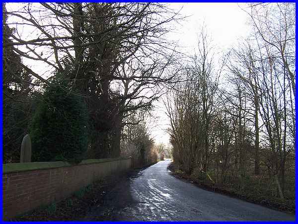
So with any further exploration of St Chad's Water thwarted we
returned to the church and continued down Wilne Road towards
the river.
|
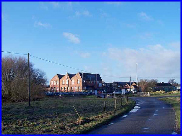
Wilne Road leads directly to a complex that I have always know
as the "Fireworks Factory" and at the entrance the
road turns at right angles to become Wilne Lane which is where
this image was captured from. The complex is centred on the old
Wilne Mill which was first mentioned in parish registers in 1613/14
although there was probably a mill here at the time of the Domesday
Book. The present building which is approximately twice as big
as the mill mostly destroyed by a 1917 fire dates from 1923 but
back in 1781 the cotton mill that stood here was one of the earliest
water- powered cotton mills in England. The Village Trails leaflet
for Draycott and Wilne says that the mill today produces pyrotechnics
but my "Fireworks Factory" is actually part of the
Chemring Defence Group of companies which according to their
website is a "World Leader for the Manufacture of Proven
Pyrotechnic and Demolition Store Products".
|
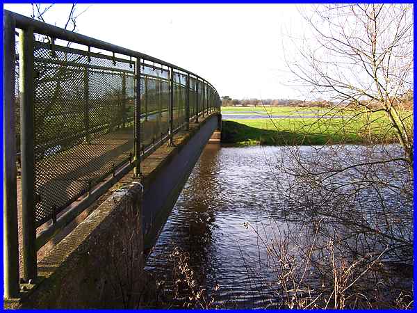
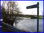  In years gone by a ferry operated close to the
mill but now a little further along Wilne Lane a signpost points
to a path (left) where a footbridge crosses the river. The mill
site is visible from the bridge (right) and records from 1280
show that the Bishop of Chester owned weirs here. The river was
famous for eels that were caught between the sluice, made from
old mill stones, and a specially shaped trap. In years gone by a ferry operated close to the
mill but now a little further along Wilne Lane a signpost points
to a path (left) where a footbridge crosses the river. The mill
site is visible from the bridge (right) and records from 1280
show that the Bishop of Chester owned weirs here. The river was
famous for eels that were caught between the sluice, made from
old mill stones, and a specially shaped trap.
|
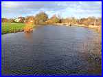
Downstream from the bridge the Derwent continues its meandering
way for another couple of bends when it flows into the River
Trent.
|
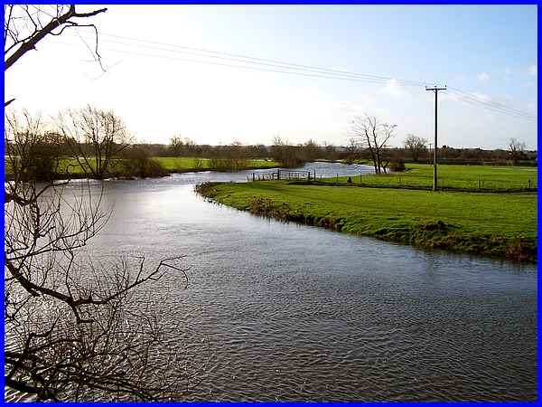
After crossing the bridge a footpath crosses the fields to the
few properties that form the hamlet of Great Wilne which can
be accessed by road from Shardlow. Although the line of the path
was visible in part as it crossed the field, the flood water
made it impractical to progress any further and brings to a close
our Village Trail around Draycott and Wilne.
|
