Cossall - The 27 Link
w/e 08 March 2026
All of this week's pictures were
taken with a Nikon D3300 camera
This walk is similar to others that we have done
from Ilkeston, along the Top Cut to Cossall but this time we
link two bus stops on the 27 route between Ilkeston and Swingate.
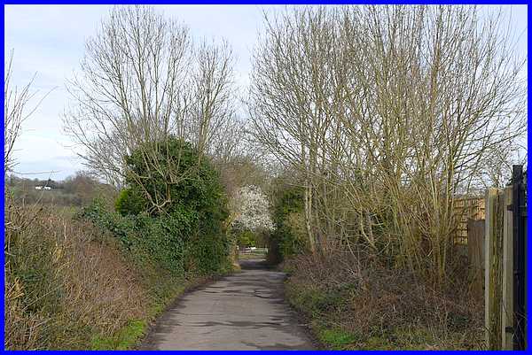
The 27 runs around the Larklands area of Ilkeston and the bus
stop on Heathfield Avenue is near the Larklands Play Area. The
shortest route to Potter's Lock on the Erewash Canal would be
across the Play Area but would likely be waterlogged in part
so we opted to approach the lock via Monks Close.
|
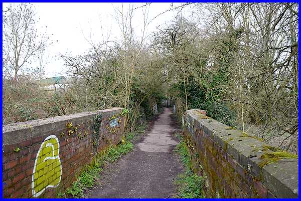
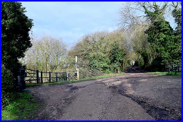
Crossing the canal we negotiated another muddy track to reach
the bridge over the River Erewash leading to the railway bridge
seen here on the left. The area on the right is the site of the
former mill that led to the path up to Cossall being named Mill
Lane.
|
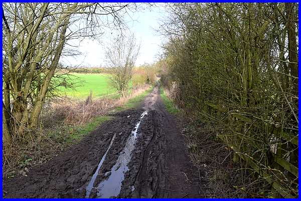
The canal and the river are both obviously at the lower part
of the Erewash Valley so it was no surprise that as we began
the climb up Mill Lane that there was more mud to avoid.
|
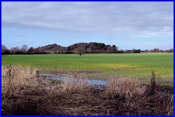
It has to be said though that all the rain this winter has contributed
to the lush green growth in the fields even though they are waterlogged
at the lowest points. The high ground in the distance which we
would shortly be passing as we walked along the Top Cut is the
former slag heap of Cossall Colliery which briefly became a ski
slope after the colliery had closed.
|
About half way towards Cossall, Mill Lane rises to reach
the disused Nottingham Canal (Top Cut) where a swing bridge once
crossed the canal.
|
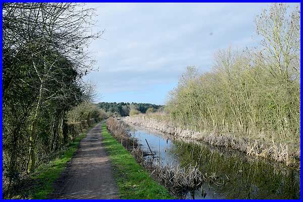
It's here that we turned left to follow the path alongside the
canal. There's also a path on the other side of the canal but
it is not so well defined.
|
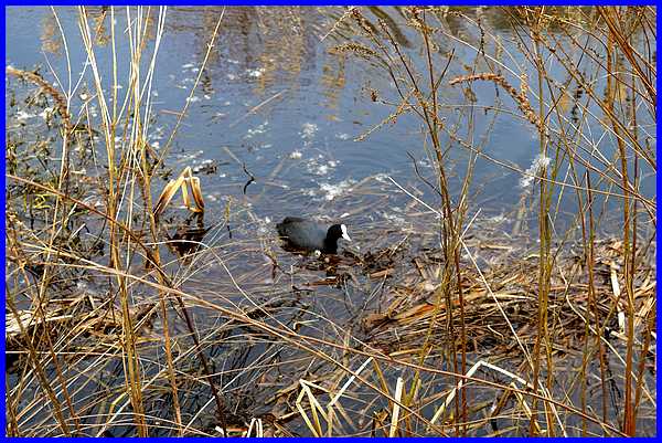
When we walked along here during the pandemic, we were accompanied
by a number of robins and the occasional blackbird but this time
birds were few and far between and we saw only one coot on the
canal. That's not to say there were more hiding in the rushes.
|
Again when we were here in February 2021 the canal was
covered with ice but this time the clear still water produced
some pleasant reflections.
|
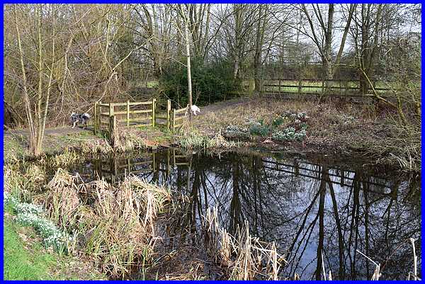
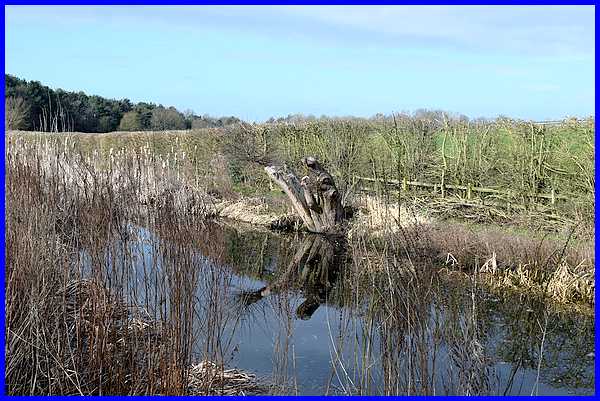
The canal is no longer navigable and is blocked in several
places, like the former swing bridge location, creating a series
of elongated ponds. As well as robins our 2021 walk saw us see
a fair number of dogs and this walk proved very similar with
several being walked along the towpath. The two seen here were
scampering between the paths on each side of the canal across
one of the barriers that has blocks the canal.
|
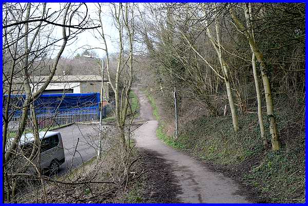
We left the canal side by dropping down to walk through the Cossall
Industrial Site to Coronation Road and the bus stop at Ilkeston's
Railway Station. We could quite easily have continued along the
path crossing the bridge over the road to descend the flight
of steps and catching the bus at Cossall Marsh. It would just
have meant a longer wait at the stop for the hourly bus service.
Click here to view the Route Map.
|
