Cossall - The "Melting Pot" Walk
w/e 08 December 2013
All of this week's pictures were
taken with a Kodak DX6490
In late 1969 Blue Mink entered the charts with a
song called Melting Pot which suggested taking a pinch of white
man and wrapping him up in black skin, adding a little bit of
Red Indian boy and mixing with yellow Chinkees among other things
that today would probably be considered not quite politically
correct. The result after combing all these characteristics would
be to turn out coffee coloured people by the score. Why I mention
that is because this walk is a little like that. I've taken a
pinch of the Monk's Way, mixed it with a bit of the Dragonfly
Trail, added a touch of the Cossall and Strelley Circular and
sprinkled it with other local walks to come up with this linear
walk from the county boundary to Cossall Marsh.
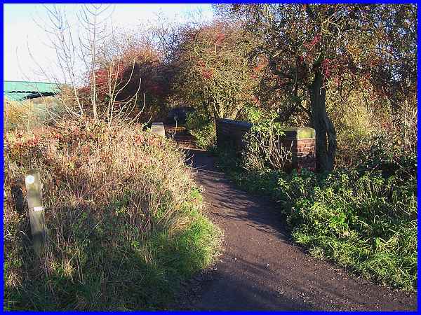
We left the Larklands area of Ilkeston at Potter's Lock crossing
the River Erewash and the county boundary to follow the path
through the trees to the railway line. At one time of day there
was a cast iron footbridge over the railway and also gates either
side that allowed pedestrians to cross the tracks but both have
now gone and the only way across is via the new green bridge
seen on the left of the image above.
|
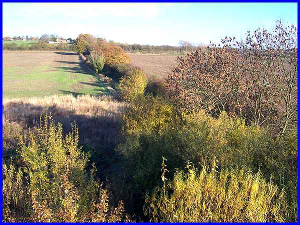
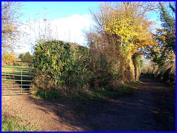
The path from the bridge up to Cossall is called
Mill Lane after a mill that stood by the Erewash and seen here
from the railway bridge it is delineated by the trees up to the
Nottingham Canal which is running along the 60m above sea level
contour.
|
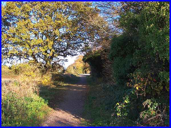
As Mill Lane nears the canal the slope gets a little steeper
and it is understandable why a Walking For Health group we once
walked with tended to walk in the opposite direction from Cossall
to Ilkeston!
|
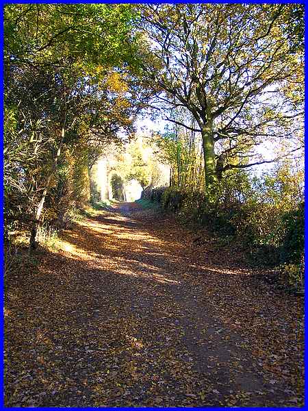
Above the canal Mill Lane continues to rise gently but here it
feels more enclosed with a greater number of trees on both sides.
|
Where the path turns slightly to the right and levels out, a
stile and a kissing gate give access to a footpath across a field
on the left. We chose the shorter route across the field.
|
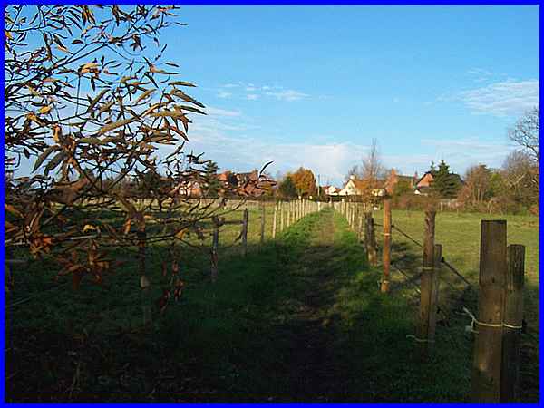
The field has been divided by post and wire fences into a number
of smaller paddocks which, when we passed, were occupied by horses.
|
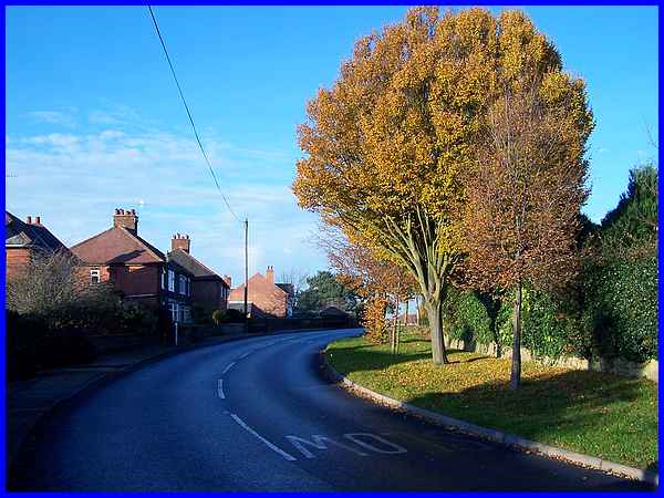
The path emerges at one of the sharp corners that are a feature
of the centre of Cossall Village. Turning right would have taken
us through the village past the church and back to Mill Lane
but we turned left to follow the road down to Cossall Marsh.
|
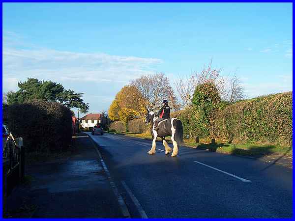
The road through the village is often very busy with vehicular
traffic but we hadn't gone very far when a horse and rider came
out of an entrance to cross the road during a break in the traffic.
|
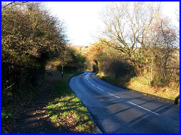
We continued down the hill, which is Church Lane towards Cossall
Marsh.
|

At the area known as Cossall Marsh is a T-junction with the road
off to the right leading to Awsworth and to the left back to
Ilkeston. The land on the corner on the left has been landscaped
to form Millennium Park but I remember from the 1950s or 60s
when motor cycle scrambling took place there, I often use to
see it from the bus window when visiting relatives at Kimberley
on Sunday afternoons but at the end of this walk we waited just
around the corner for the bus to take us back home.
|
