Ilkeston - A Longfield
Lane Circuit
w/e 28 January 2007
All
this week's pictures were taken with a Kodak DX6490
Old maps of 1894 show Longfield Lane linking Little
Hallam with Hallam Fields. In those days Hallam Fields was known
as Little Hallam Fields and there are no buildings shown on either
side of the lane. Instead there were a number of long narrow
fields especially going down the hill on the south side and I
suspect that it was these that gave rise to the name Longfield
Lane as the area developed.
  The Ilkeston Local History Society's website
says an ancient name for the lane was Bindage
Meadow Road but this name has been lost in the mists of time.
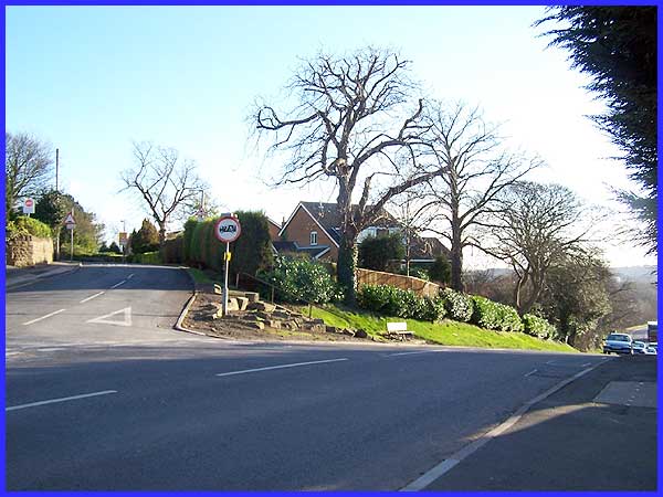
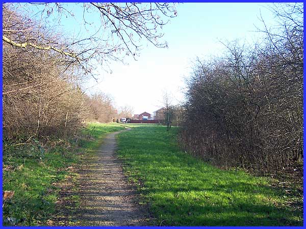
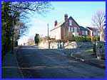
This walk starts at the Little Hallam end of the the lane
and passes along both sides of it before returning to its junction
with Quarry Hill Road (above). We'll begin by descending Quarry
Hill Road (left) and taking the signed footpath (right) near
the bottom. The Ilkeston Local History Society's website
says an ancient name for the lane was Bindage
Meadow Road but this name has been lost in the mists of time.
This walk starts at the Little Hallam end of the the lane
and passes along both sides of it before returning to its junction
with Quarry Hill Road (above). We'll begin by descending Quarry
Hill Road (left) and taking the signed footpath (right) near
the bottom.
|
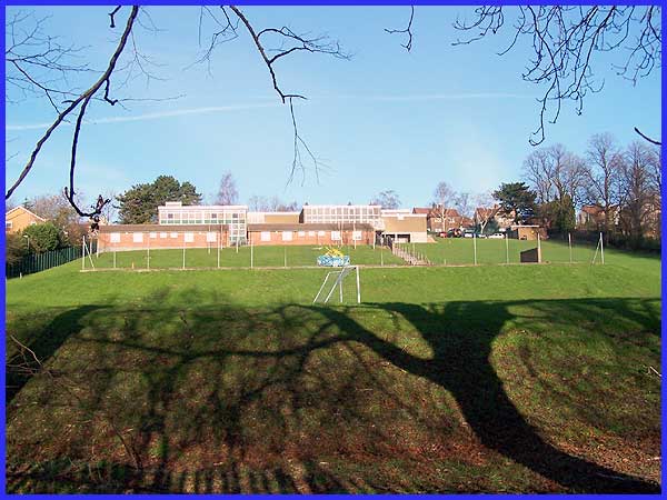
The path passes below the Hallam Fields Junior School where the
hillside has been terraced to accommodate playgrounds and sports
fields.
|
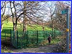
This was something of an exploration for us as this is one of
the few footpaths in Ilkeston we have never trod before. It leads
between the school playing fields and gardens of the properties
on Longfield Lane on the left and the Quarry Hill Industrial
Site on the right into a fairly recently developed housing estate.
Although it looks dry and firm underfoot, the recent heavy rain
had left one short patch near the estate that turned out to be
ankle deep in mud! And there was no way round!
|
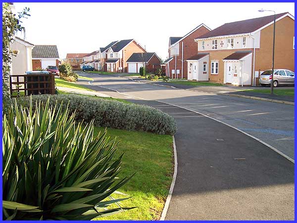
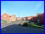
The appearance of the housing estate is no different to any that
have been built in the last ten to twenty years ( and maybe even
longer) as developments like this are being cloned all over the
place. This image could be anywhere in the country but you'll
have to take my word for it that this is Malthouse Road, Ilkeston
|
  One thing that probably
does set this development apart from similar sites is the fact
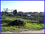
that it provides an access to the Longfield Lane Allotment Gardens
(left). Many similar allotments in other areas of the town have
succumbed to national building concerns and have themselves become
housing estates. Leaving the estate via Harrow Road (right) we
crossed Longfield Lane into Frederick Avenue (above). One thing that probably
does set this development apart from similar sites is the fact
that it provides an access to the Longfield Lane Allotment Gardens
(left). Many similar allotments in other areas of the town have
succumbed to national building concerns and have themselves become
housing estates. Leaving the estate via Harrow Road (right) we
crossed Longfield Lane into Frederick Avenue (above).
|

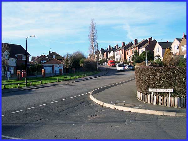
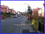  Frederick Avenue (left) is part of another
housing estate, the Middleton, but this one is typical of developments
between the wars and dates from the 1930s. A left turn at the
end of Frederick Avenue into Queen's Avenue took us back to Longfield
Lane (right) where we turned right to climb back up the hill
past the junior school again, this time on the top side, to return
to the Quarry Hill Road junction. Frederick Avenue (left) is part of another
housing estate, the Middleton, but this one is typical of developments
between the wars and dates from the 1930s. A left turn at the
end of Frederick Avenue into Queen's Avenue took us back to Longfield
Lane (right) where we turned right to climb back up the hill
past the junior school again, this time on the top side, to return
to the Quarry Hill Road junction.
|
