Dale Abbey - The Dunnshill Triangle - Part 1 of 2
w/e 10 October 2004
All this week's pictures were taken
with a Kodak DX6490
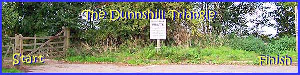
This is a walk that starts and finishes at a place
marked on the map as Dunnshill. It is only a ten minute drive
from Ilkeston and in another ten minutes you could be speeding
down the A52 towards Derby city centre, yet here we are in the
middle of open countryside. A general map of the area can be
seen by clicking the link to Multimap at the top of this page
but this map at Streetmap.co.uk (opens a new window) gives
a more detailed view. I was tempted to call the walk "circular"
but as it is made up of three almost equidistant sides, "The
Dunnshill Triangle" seemed more appropriate. It begins by
going through the gate on the left of the picture above and heads
towards Locko Park where it turns in a north-easterly direction
before retuning to Dunnshill via part of the long distance path
called the Midshires Way to emerge from the trees at the right
of the picture.
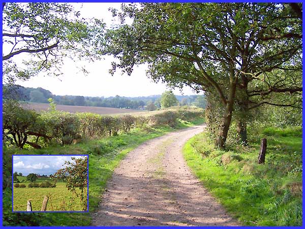
Passing through the gate we follow this sandy track for about
half a mile. The view soon opens up on the right across the fields
to reveal Hollies Farm on the slightly higher ground (see inset).
|
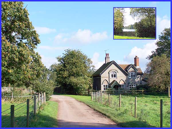
On entering the Locko Estate, the track becomes a tarmac road
and in another half mile reaches the lake (inset) in the park.
The main picture is the view looking back near the start of the
tarmac at Lodge Farm.
|
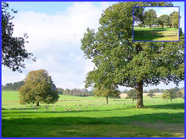
At the corner of the lake a private drive leads up to Locko Hall
which can just be seen through the trees (inset) but beyond the
fence, the birds, including numerous Canada Geese have scant
respect for the privacy of the occupants of the Hall. They seem
to have taken up residence in the trees and open parkland between
the water and the Hall.
|
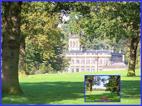
The Hall has been the ancestral home of the Drury-Lowe family
since 1747 and the present house was built in the late 1720s
although the west wing which is older than the main house contains
a chapel of 1669. A leper hospital stood here in mediaeval times.
In October 2001 we had reached this point in the walk from the
opposite direction along the edge of the lake. To see an account
of that walk click
here to open a new window. We now start the second side of
the Dunnshill triangle by taking a footpath across the field
to the right of the private road and head towards the wood in
the distance (inset).
|
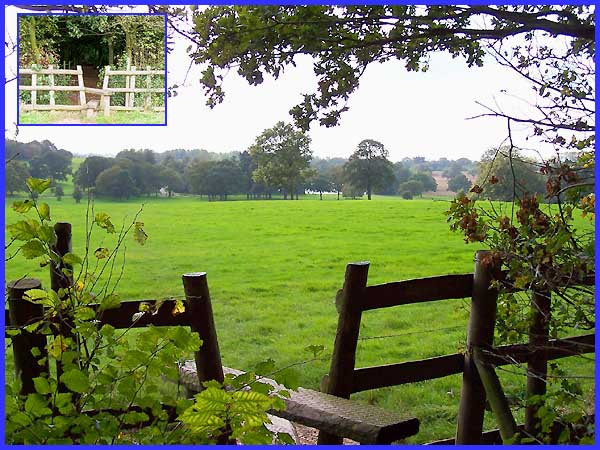
A stile (inset) leads to a fenced path through the small wood
and looking back after crossing the style, the lake can be seen
through the trees.
|
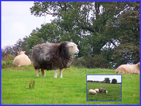
Leaving the wood the way-marked path runs around the edge of
a field towards another small wood which we shall bypass and
which will mark the approximate midway point of the walk. Sheep
in the next field showed little interest as we passed by (inset)
although we did merit a glance from the fine specimen in the
main picture.
Continued in
Part 2
|
