Attenborough Nature Reserve - The Beeston End
w/e 26 July 2020
All of this week's pictures were
taken with a Kodak DX6490
  We've often
been to Attenborough and enjoyed walks around the Nature Reserve
and usually enter the site from the Long Eaton/Toton end or through
Attenborough Village itself. For a change this time we approached
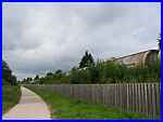
from the Beeston and Chilwell end along Meadow Lane. Carefully
crossing the railway line we turned right to walk alongside the
line (left) on what is known as the Delta Path (right). We've often
been to Attenborough and enjoyed walks around the Nature Reserve
and usually enter the site from the Long Eaton/Toton end or through
Attenborough Village itself. For a change this time we approached
from the Beeston and Chilwell end along Meadow Lane. Carefully
crossing the railway line we turned right to walk alongside the
line (left) on what is known as the Delta Path (right).
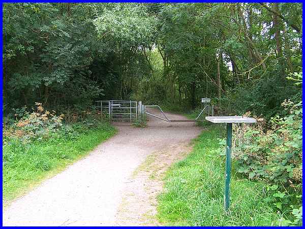
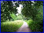
At the end of the Delta Path it continues straight on to eventually
reach the Visitor Centre via the Works and Church Paths although
warning notices indicated part of this route was closed due to
an unsafe footbridge. The path to the left however called The
Bund, bordering The Delta Sanctuary on the left, was open.
|
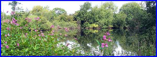
 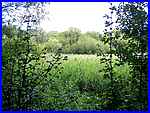 About half way along The Bund is a
Viewing Screen (left) offering a view into The Delta Sanctuary
which at this point showed some extensive reed beds (right).
The sanctuary is a rough square shaped wooded area containing
a number of small ponds. A little further on from the screen
a bench on the other side of The Bund provided another viewing
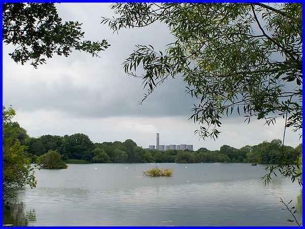
point across Main Pond to the distant Power Station. About half way along The Bund is a
Viewing Screen (left) offering a view into The Delta Sanctuary
which at this point showed some extensive reed beds (right).
The sanctuary is a rough square shaped wooded area containing
a number of small ponds. A little further on from the screen
a bench on the other side of The Bund provided another viewing
point across Main Pond to the distant Power Station.
|
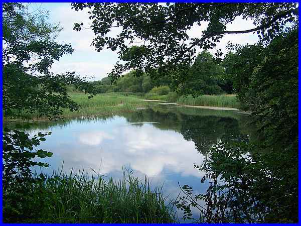
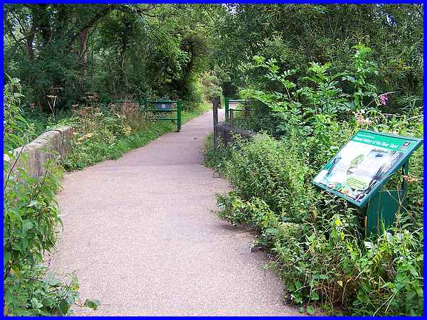
There are a number of boards in the Reserve giving details about
different areas and one near the end of The Bund says that the
Delta was formed when sediment from sand and gravel processing
settled at the bottom of a lagoon. As it dried out it formed
a mixture of habitat for wildlife including wet woodland, reed
beds and as can be seen here, expanses of open water.
|
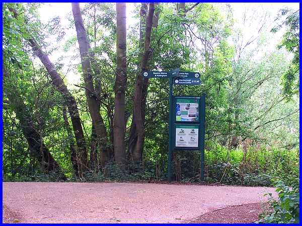
At the end of The Bund a signpost points right to the Visitor
Centre and Trent Lock at Sawley beyond but we turned left to
follow the riverside path towards Beeston Marina and Nottingham.
|
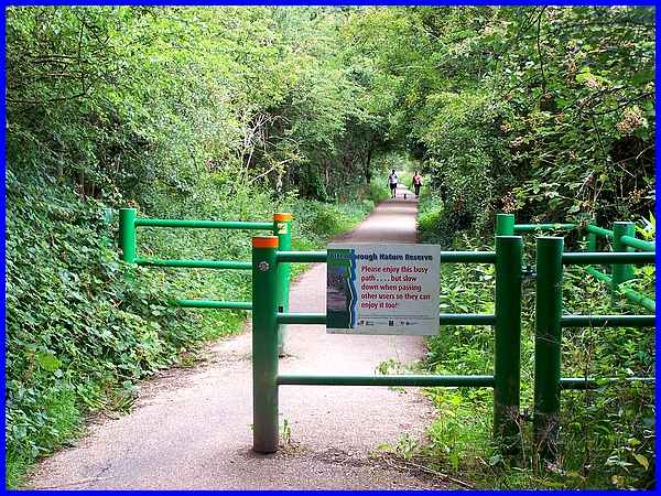
A sign on the barrier on the riverside path warns that it is
a busy route and elsewhere another says that although it is not
a cycle path as such, it is used by cyclists so everyone should
be careful.
|
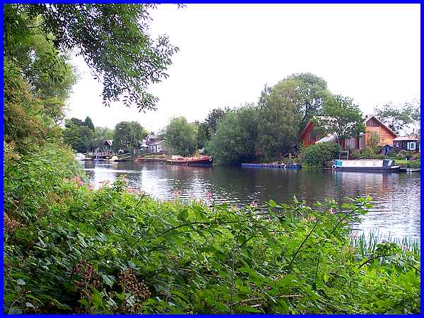
There are frequent views from the path over the River Trent of
properties on the opposite bank most with a boat moored alongside.
|
A stone footbridge crosses an overflow channel from the Delta
Sanctuary to the river and another of the many interpretation
boards here is titled "Natural History of the River Trent".
|
At the next path junction with Beeston Marina in sight, we turned
left along North Path and enjoyed pleasant views both to the
right over Beeston Pond and ....
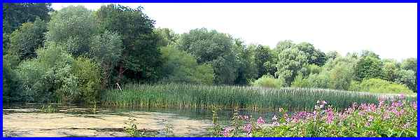
.... to the left over the water and reed beds in the Delta Sanctuary.
And it was across that open stretch of water in the Delta Sanctuary
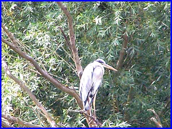
that we spotted a heron sitting in a tree.
|
Surprisingly although we had heard a lot of bird song during
our walk, apart from the heron, a wood pigeon and another at
a distance on the open water, we had seen hardly any birds at
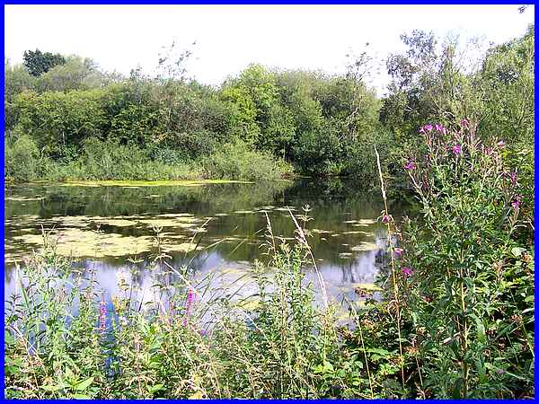
all. This view of Beeston Pond with a foreground of wild flowers
was typical of the scenery along North Path.
|
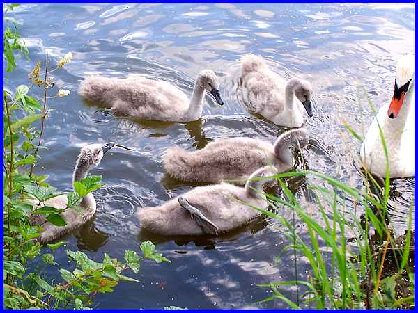
But as we neared the end of the walk and a return over the same
railway crossing where we had started, a family of swans in Beeston
Pond meant that the bag of corn we had been carrying did not
go to waste.
Route Map
|
