Autumn Footprints 2020 - The Virtual Festival
w/e 27 September 2020
All of this week's pictures were
taken with a Kodak DX6490
Go Walking- follow the Leaflet!
This year Covid-19 has put a stop to the usual annual
Autumn Footprints. Normally this would consist of a range of
guided walks led by local knowledgeable volunteers over sixteen
days in September. However with Covid-19 restrictions this has
had to be revised and there will be no led/guided walks. Instead
some previously produced walk leaflets have been collected together
onto the website to be enjoyed in family/friends groups –
obviously observing strict social distancing guidance. Log onto
www.autumnfootprints.co.uk to download
the leaflets from the homepage.
Please note the leaflets have been produced over the last 20
years. Therefore, it may be that there are some public houses
and cafes that are no longer in existence. There may be some
sections where the paths are narrow. All routes are to be walked
in accordance with strict government guidance on social distancing.
See also the Special
Features section of this site for various Country, Family,
Town and City Walks, Village Trails, Walking for Health routes
and other Miscellaneous Walks.
Below are a few images from a previous Autumn Footprints Festival
|
Walking The Northern Fields Of Amber Valley (2015)
Autumn Footprints walks are graded Easy, Moderate
or Strenuous to enable walkers to decide which to join and this
one fell into the latter category. That was not because of the
seven mile length but because it was over the undulating landscape
across the northern fields of the Ambver Valley district but
because it included several uphill sections with one particularly
difficult climb - but we'll come to that later.
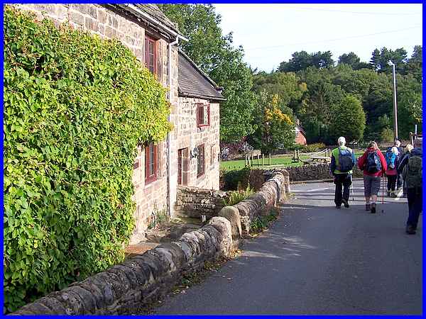
The walk started on Church Street near Dethick, Lea and Holloway
Cemetery from where we climbed up the hill behind Christ Church
and followed footpaths to enter and pass through Lea Village.
|
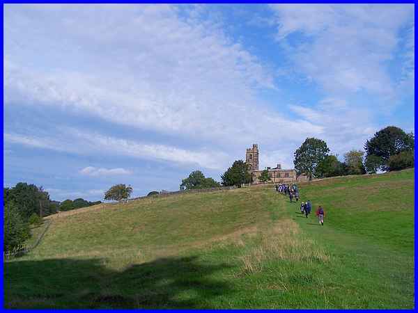
We left the village, dropped down to cross Lea Brook and then
climbed up again to head over the fields to St John's Church
at Dethick. After passing through the churchyard and by the adjacent
Manor Farm we turned right to walk along Dethick Lane to a crossroads
with Shaw Lane and Green Lane.
|
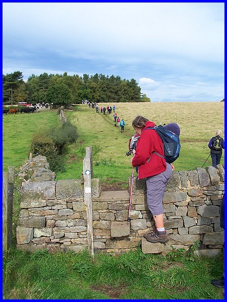
Green Lane is actually a good description for it is basically
a green footpath across the undulating fields separated by dry
stone walls and hedgerows. Obviously with stiles to negotiate,
the large number of walkers became stretched out but soon after
this we stopped for a coffee break which enabled everyone to
catch up.
|
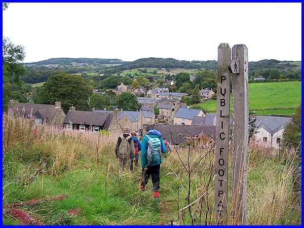
After crossing Cunnery Lane the route continued across the fields
to the edge of Tansley near Matlock.
|
A short walk through the back streets of Tansley took us out
into the open countryside again as we headed towards Matock.
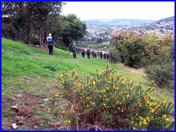
We dropped down the hillside (above) but for every "down"
there is an "up" and the next section of the walk in
particular is what made this walk strenuous.
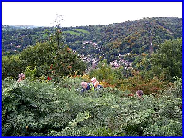
 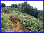 An
uneven rocky path twisted and turned through the chest high,
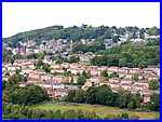
fern clad hillside. A clearing in the fern about half way up
was a good viewpoint over Matlock (left) and many of the walkers
took advantage of it to pause, not just to appreciate the view
but also to catch their breath, me included! We continued climbing
up the rocky path (right) and eventually walked into Riber Village. An
uneven rocky path twisted and turned through the chest high,
fern clad hillside. A clearing in the fern about half way up
was a good viewpoint over Matlock (left) and many of the walkers
took advantage of it to pause, not just to appreciate the view
but also to catch their breath, me included! We continued climbing
up the rocky path (right) and eventually walked into Riber Village.
|
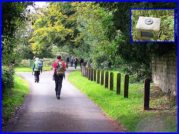
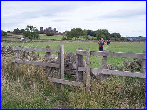
Walking through the village we passed close to Riber Castle on
Riber Road. There's an Ornance Survey marker stone and bench
mark (inset) near here showing the "Height Above Datum"
as 797.28 ft. That's about 243m and we would climb only 3 or
4m higher before descending to our start and finish point about
100m lower.
|
Now four and a half miles into our walk we turned off Riber Road
to walk through more chest high, fern lined paths above Starkholmes
for a lunch break on the high ground above Matlock Bath. Notice
the cable car ride up to the Heights of Abraham towards the right
of the picture.
|
Suitably refreshed we returned towards Riber with the castle
now prominent on the horizon but soon turned off to follow Hearthstone
Lane.
|
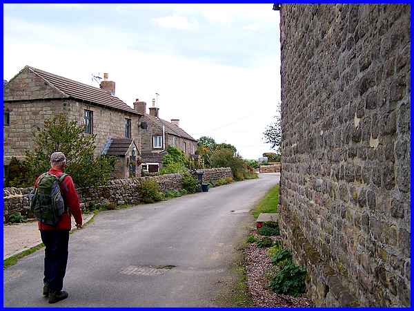
This led us through the little settlement and farm known as Hearthstone,
a working farm with some holiday accommodation in the beautiful
Derbyshire countryside high above Matlock.
|
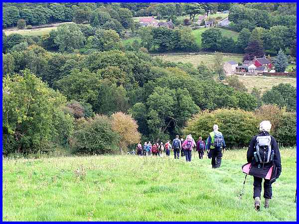
As we were high above Matlock that meant some downhill paths
to follow back to Lea and Holloway but this being the northern
fields of Amber Valley, that also meant there would be some uphill
paths as well before we reached the finish!
Route Map.
|
