Autumn Footprints 2013 - Week One
w/e 22 September 2013
All this week's pictures were taken
with a Kodak DX6490
If it's Christmas, it's December, the Annual Charter
Fair, October and September is fast becoming known locally for
the Autumn Footprints Walking Festival in Amber Valley and Erewash.
Sixteen days of organised walks for people of all capabilities
from one mile strolls to twelve mile strenuous hikes and even
a map reading course there truly is something for everyone. This
year with the Festival in its eleventh incarnation, we tended
to opt for the middle ground enjoying routes led mainly by Walking
For Health or Ramblers groups and this selection of images all
come from the first week of the Festival which began on September
14th.
I was undecided right up until the last minute whether to attend
the opening event and walk in Shipley Country Park or join a
three mile walk with the Ilkeston Local History Society titled
"Top Cut, Bennerley, Bottom Cut Loop". Deciding on
the Saturday morning I opted for the latter and joined the group
at Ilkeston Junction.
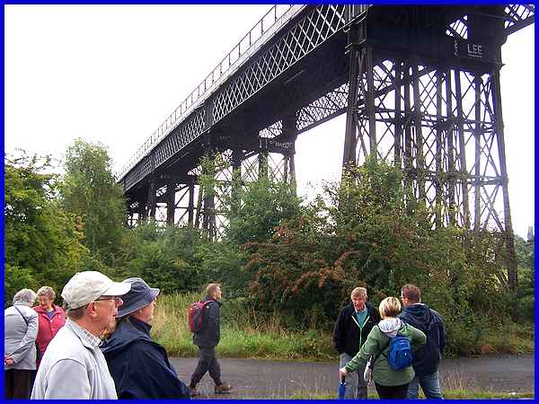
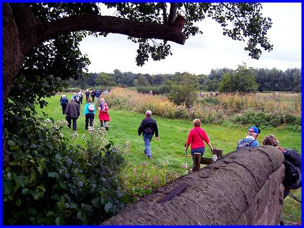
  We
followed the Erewash Canal (left) on the outward stretch to the
Bennerley Viaduct where we were able to view its remarkable construction
at close quarters. Although a wrought iron construction, it was
built in the same manner as wooden bridges. Walking through the
former Bennerley Foundry site later used as a Coal Screening
Plant, we picked up the Nottingham Canal (right) for the return
leg. We
followed the Erewash Canal (left) on the outward stretch to the
Bennerley Viaduct where we were able to view its remarkable construction
at close quarters. Although a wrought iron construction, it was
built in the same manner as wooden bridges. Walking through the
former Bennerley Foundry site later used as a Coal Screening
Plant, we picked up the Nottingham Canal (right) for the return
leg.
|
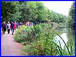
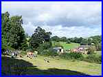
The cloudy sky at the beginning of the walk cleared
as the morning progressed and the day had brightened considerably
by the time we reached what was probably the most picturesque
part on the final stretch of the Nottingham Canal near Coronation
Road at Cossall and a posse of photographers must have come away
with an image similar to this one.
|
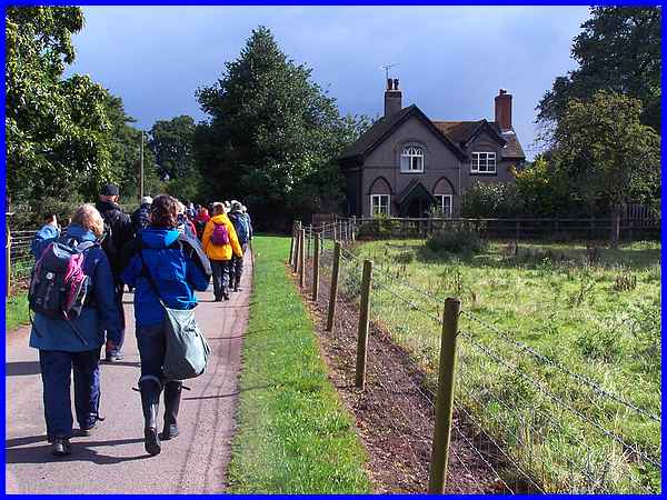
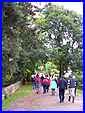
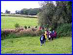 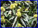 Our next walk was on Monday when we set
off from Bluebell's Ice Cream Parlour at Spondon with the Erewash
Ramblers on a variation of Country Walk No. 5 "The Squire's
Walk" of some 6.5 to 7 miles around Dale and Ockbrook. We
began by crossing a couple of fields (left) before entering the
Locko Park estate (above) where a sweet chestnut tree was showing
a fine harvest (right). Our next walk was on Monday when we set
off from Bluebell's Ice Cream Parlour at Spondon with the Erewash
Ramblers on a variation of Country Walk No. 5 "The Squire's
Walk" of some 6.5 to 7 miles around Dale and Ockbrook. We
began by crossing a couple of fields (left) before entering the
Locko Park estate (above) where a sweet chestnut tree was showing
a fine harvest (right).
|
 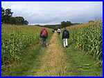 There was a mid-morning "coffee"
break near Columbine Farm (left) at the foot of Dale Hills before
we continued to the edge of Dale Village. Climbing up through
the trees in Ockbrook Wood we then passed through the arable
farmland between Dale and Ockbrook (above). A little section
of road walking at Spondon led to more open countryside and a
track through a head-high maize crop back to Bluebell's. There was a mid-morning "coffee"
break near Columbine Farm (left) at the foot of Dale Hills before
we continued to the edge of Dale Village. Climbing up through
the trees in Ockbrook Wood we then passed through the arable
farmland between Dale and Ockbrook (above). A little section
of road walking at Spondon led to more open countryside and a
track through a head-high maize crop back to Bluebell's.
|
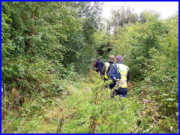
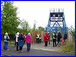  For
our Tuesday walk we opted for the easy couple of miles from the
Shipley Garden Centre with the Heanor Walking For Health group.
A figure of eight route passed through the little used "Waterloo
Cutting" (above) and Shipley Wood, crossed Shipley Common
returning via the Woodside Colliery Headstocks Memorial (left)
and then along Pit Lane to return to the Garden Centre (right). For
our Tuesday walk we opted for the easy couple of miles from the
Shipley Garden Centre with the Heanor Walking For Health group.
A figure of eight route passed through the little used "Waterloo
Cutting" (above) and Shipley Wood, crossed Shipley Common
returning via the Woodside Colliery Headstocks Memorial (left)
and then along Pit Lane to return to the Garden Centre (right).
|
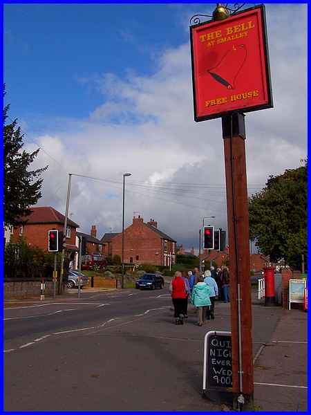
  We joined another
Walking For Health group from Horsley Woodhouse on Wednesday
morning for the "Horsley Woodhouse and Smalley" walk.
This route left the village along Wood Lane and then passed through
the open countryside to the south of the village (left) to Smalley.
Here it continued to keep to the south of Smalley and went a
little way down Bell Lane (right) before turning northwards to
pass through more fields to emerge at the side of The Bell at
Smalley public house (above). We joined another
Walking For Health group from Horsley Woodhouse on Wednesday
morning for the "Horsley Woodhouse and Smalley" walk.
This route left the village along Wood Lane and then passed through
the open countryside to the south of the village (left) to Smalley.
Here it continued to keep to the south of Smalley and went a
little way down Bell Lane (right) before turning northwards to
pass through more fields to emerge at the side of The Bell at
Smalley public house (above).
|
 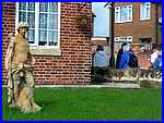 Crossing the road we turned into Dobholes Lane noticing
the statue in the garden on the corner (left). Now I know it
had warmed up during the morning but not enough to be standing
about in nothing but a loin cloth! The direct route back to Horsley
Woodhouse was by road but we turned off to cross the recreation
ground and out into the open countryside (above) to return to
the Church Hall (right). Crossing the road we turned into Dobholes Lane noticing
the statue in the garden on the corner (left). Now I know it
had warmed up during the morning but not enough to be standing
about in nothing but a loin cloth! The direct route back to Horsley
Woodhouse was by road but we turned off to cross the recreation
ground and out into the open countryside (above) to return to
the Church Hall (right).
We were surprised on this walk as Walking For Health routes are
normally up to three miles in length with no hills or stiles.
This one at a touch over four miles had both stiles and hills
so kudos to the group.
|
On Thursday we had planned to join the Erewash Ramblers
again for a walk around "Morley 'Portway' and Brackley Gate"
but call us fine weather walkers if you like but we didn't fancy
trudging across fields in the pouring rain. Instead we took the
dog for a walk in Ilkeston and got drenched anyway!
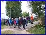
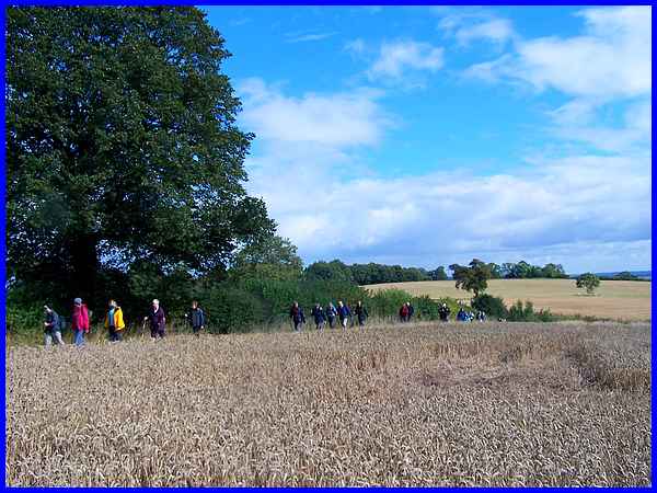
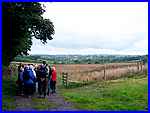
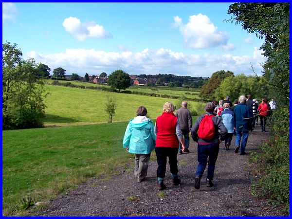
Friday and a five miler called the "Duffield Circular Walk"
proved to be the most populous walk of the week. With an estimate
of some sixty to seventy participants, just a few of the walkers
are seen here in the Ecclesbourne Valley making their way towards
Quarndon Hill.
|
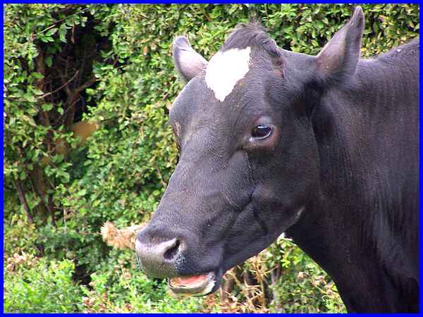
After climbing the hill passing through a sheep farm on the way
we made our way back down again to Duffield along a number of
footpaths some of which are part of a fifty mile route circumnavigating
the city of Derby called the Derby Nomad Way. The descent through the
fields involved climbing a number of stiles and the lowing of
a single cow standing in the hedgerow gave warning of its presence
well before it could be seen.
|
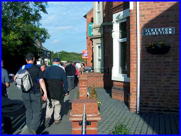
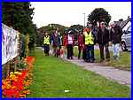
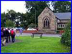
We ended the week as we had begun at Ilkeston Junction with a
Saturday afternoon walk and talk under the guidance of Paul Miller
of the Ilkeston Local History Society. A gentle walk from Victoria
Park via the Manners Link, Heanor Road, Rutland Street and Millership
Way with frequent stops for Paul to show old photographs of "The
Lost Railways of Ilkeston" returned us to the spot where
we had started the "Top Cut, Bennerley, Bottom Cut Loop"
a week earlier. Paul with Grant Shaw, is the co-author of "Railway Tales" a publication by the
Society and available from their website. Paul to the amusement
of the walkers didn't miss an opportunity to plug the book and
all of the photographs he showed during the walk are also in
the book. For some of us though they were not so much "history"
but just memories of our youth ... but that's another story.
Well unlike last year both my wife and myself got through the
first week of the Festival unscathed and are now looking forward
to the second week's selection. To be continued ....
|
