The Whittlestone Walk - Part 03
w/e 12 February 2012
All this week's pictures were taken
with a Kodak DX6490
When we started this walk in November and December
2011 it was under grey skies but the trees were still displaying
some autumn colour. Since then we have had a relativeley mild
winter over the Christmas and New Year period and even throughout
January but as we entered February, some wintry weather was forecast.
So with snow imminent we set off one bright and sunny but cold
and frosty afternoon to follow the third mile of this five mile
route.
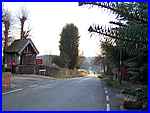  We
resumed our walk at the end of Coronation Road (left) in Mapperley
Village where the white building opposite once housed the village
shop and Post Office. The shop has now closed but the Old Black
Horse pub seen just beyond the conifer in the same picture continues
to trade. Our route from here though is to turn left at the end
of Coronation Road and to proceed a little way down Mapperley
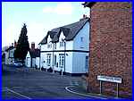
Lane (right). We
resumed our walk at the end of Coronation Road (left) in Mapperley
Village where the white building opposite once housed the village
shop and Post Office. The shop has now closed but the Old Black
Horse pub seen just beyond the conifer in the same picture continues
to trade. Our route from here though is to turn left at the end
of Coronation Road and to proceed a little way down Mapperley
Lane (right).
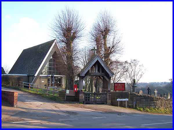
 The
route is through open countryside to the right of Mapperley Lane
and we will complete the third mile back on the lane between
the village and the High Lane but before taking a footpath almost
opposite Church Lane it is worth pausing for a moment to view
the modern A-framed Holy Trinity Church that opened in 1966 replacing
the old building that had to be demolished due to mining subsidence
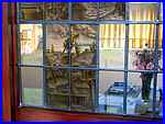
two years earlier. The leaflet for the Whittlestone Walk mentions
some "unique stained glass windows" (left) which after
a checkered history were installed in the main doors to the church.
(See Mapperley History link for more information). The
route is through open countryside to the right of Mapperley Lane
and we will complete the third mile back on the lane between
the village and the High Lane but before taking a footpath almost
opposite Church Lane it is worth pausing for a moment to view
the modern A-framed Holy Trinity Church that opened in 1966 replacing
the old building that had to be demolished due to mining subsidence
two years earlier. The leaflet for the Whittlestone Walk mentions
some "unique stained glass windows" (left) which after
a checkered history were installed in the main doors to the church.
(See Mapperley History link for more information).
|
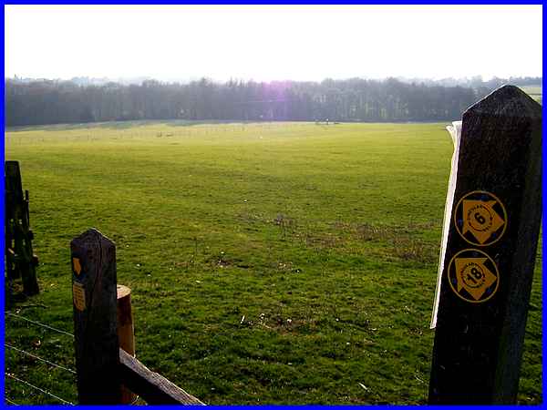
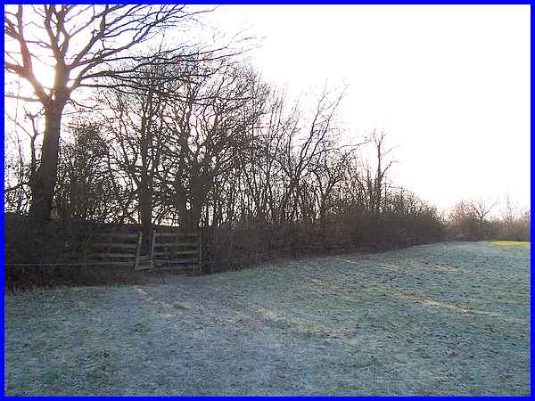
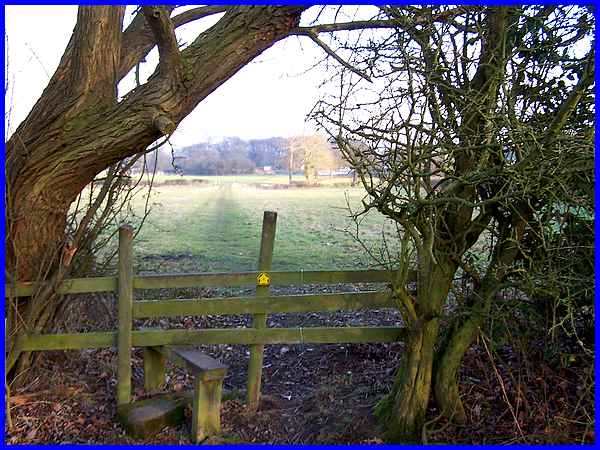
The footpath opposite the church leads to a stile into the fields
and a notice fastened to the post asks walkers to keep to the
footpath but although the waymarkers point in the general direction
of Mapperley Park Wood the actual line of the path is not obvious.
All you can do is aim for a gate in the middle of the fence that
crosses the filed half way down the hill where another notice
repeats the same request.
|
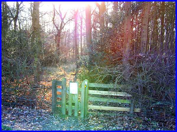
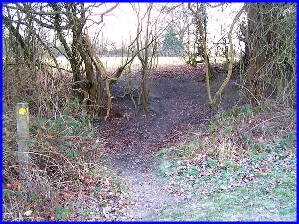
On reaching the gated access to the wood a similar notice proclaims
that the wood is private property and again that walkers should
keep to the path. A map incorporated into the notice shows a
straight line through the wood but again any semblance of a path
is far from obvious.
|
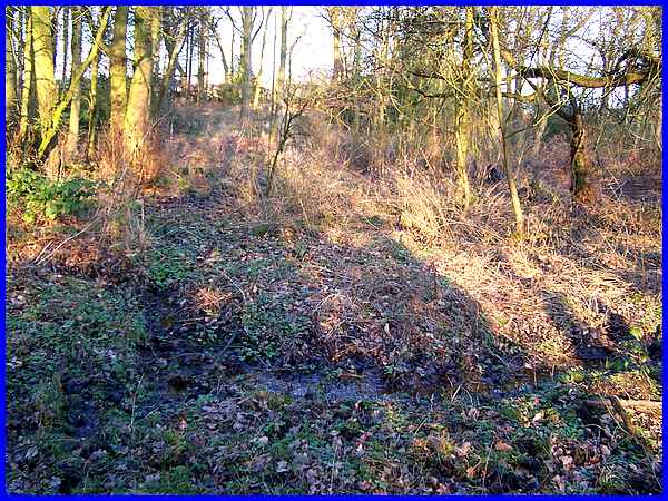
As we went further into the wood the exit gate on the opposite
side was visible but there was no sign of the "two wooden
footbridges" crossing Mapperley Brook and the frozen ground
gave way to soft bog-like conditions underfoot. After picking
our way through the undergrowth and leaping across the brook
I turned for this shot of the bog whilst slowing sinking into
the soft earth.
|
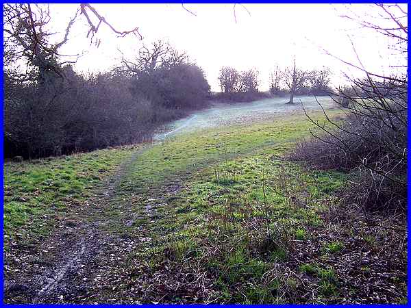
Exiting the wood we continued up the north facing frost covered
slope to a stile in the hedgerow.
|
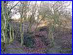
The stile leads up to an old railway embankment which once carried
the branch line of the Midland Railway serving Mapperley Colliery.
In the 1970s the track bed was concreted and used by opencast
vehicles. This view along the embankment is eastwards towards
Mapperley Lane. Beyond that the track continues towards Ilkeston
and is the same track that we followed near Head House Farm when
walking towards Mapperley Village from the Nutbrook Trail in
Part 2.
|
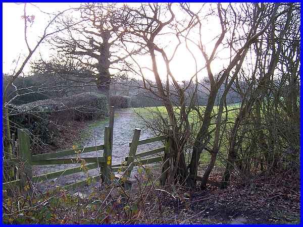
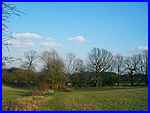
A few steps in the other direction is another stile taking us
into another field to continue in a generally south westerly
direction alongside the hedge.
|
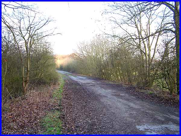
The path is much more obvious now even without the aid of the
frost and viewed from another stile and footbridge over a brook
the route can be seen turning into the trees about halfway along
the next field.
|
  Where the path turns a waymarker points the way across
a gulley but the fence on the other side that is mentioned in
the leaflet is no longer there and is another reason why the
leaflet is not currently available. My copy is 12 years old!
The gulley (left) and the raised track (right) however do mark
the position of a tramway that ran from the Blue Fly Shaft of
West Hallam Pit to the Nutbrook Canal. Where the path turns a waymarker points the way across
a gulley but the fence on the other side that is mentioned in
the leaflet is no longer there and is another reason why the
leaflet is not currently available. My copy is 12 years old!
The gulley (left) and the raised track (right) however do mark
the position of a tramway that ran from the Blue Fly Shaft of
West Hallam Pit to the Nutbrook Canal.
|
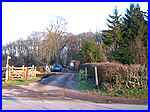 After
crossing the gulley a sharp left turn leads to another stile
under an overhanging tree from where it is a straight run across
a couple of fields back to Mapperley Lane opposite the entrance
to Brook Farm (left). Although not strictly part of the Whittlestone
Walk, a short detour can be made from here by following Mapperley
Lane back towards the village to visit the site of Mapperley
Castle. That is precisely what we did in May 2008 when we also
returned to Brook Farm and continued along the bridleway towards
Ilkeston which in effect is a section of the Whittlestone Walk
and constitutes Part 3A of the walk. After
crossing the gulley a sharp left turn leads to another stile
under an overhanging tree from where it is a straight run across
a couple of fields back to Mapperley Lane opposite the entrance
to Brook Farm (left). Although not strictly part of the Whittlestone
Walk, a short detour can be made from here by following Mapperley
Lane back towards the village to visit the site of Mapperley
Castle. That is precisely what we did in May 2008 when we also
returned to Brook Farm and continued along the bridleway towards
Ilkeston which in effect is a section of the Whittlestone Walk
and constitutes Part 3A of the walk.
The next part therefore can be seen by clicking the link below
which means that we will have seen parts of this route in three
of the four seasons and maybe, by the time we continue with the
next part, spring will be upon us.
|
