The Erewash Valley
- A Tale Of Two Canals - No 2 The Nottingham
w/e 02 November
2003
A variation of Broxtowe Borough Council's "New
Eastwood" walk
We resume our walk along the two canals in the Erewash Valley
between Ilkeston and Eastwood close to the most northerly point
of the route on the towpath of the Nottingham Canal.
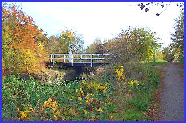
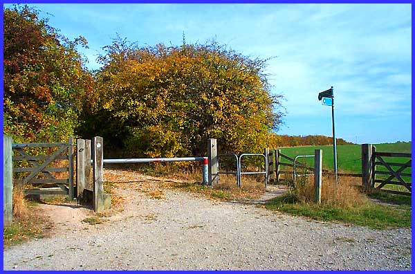
Heading in a southeasterly direction we soon reached this swing
bridge over the disused canal. Crossing the bridge would lead
us to the start and finish point as described in the "Six
of the Best Walks in Broxtowe Borough" booklet that we were
following but as we had started part way round the circular walk
we continued straight on along the towpath.
|
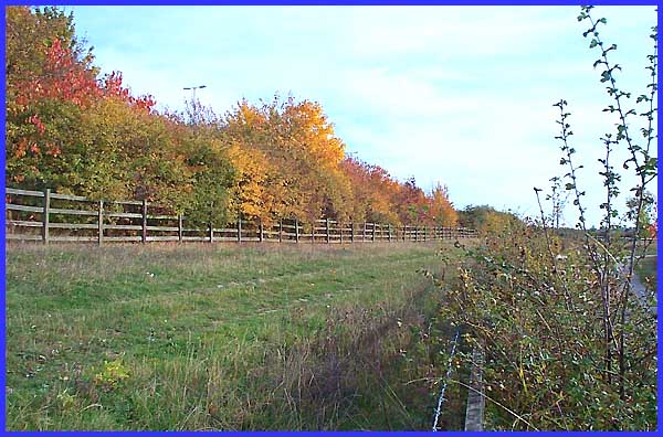
In another couple of hundred yards or so we crossed Newmanleys
Road to the next section where the canal has now been filled
in following opencast mining in the area. The Nottingham Canal
was first opened in 1796 linking Eastwood with Nottingham but
the success of the railways meant that by 1928, canal transportation
was no longer considered viable and it had been abandoned by
1937.
|
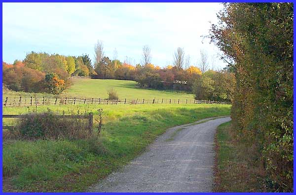
The uninformed would scarcely comprehend the existence of the
Nottingham Canal from this view today but in D. H. Lawrence's
day, it was central to his story "The Rainbow" in which
it burst its banks and drowned Tom Brangwen. When you know of
the canal it is easy to see the route between the track and the
fence but a little further on the changed landscape means all
signs of the old route disappear.
|
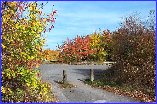
At this point of the walk the canal has disappeared altogether
but a footpath continues across the fields. Our route at this
parting of the ways however was to turn left along the bridle
way.
|
At this junction, looking particularly attractive at this
time of year, we turned right to follow a tarmaced lane towards
Newthorpe Sewage Works.
|
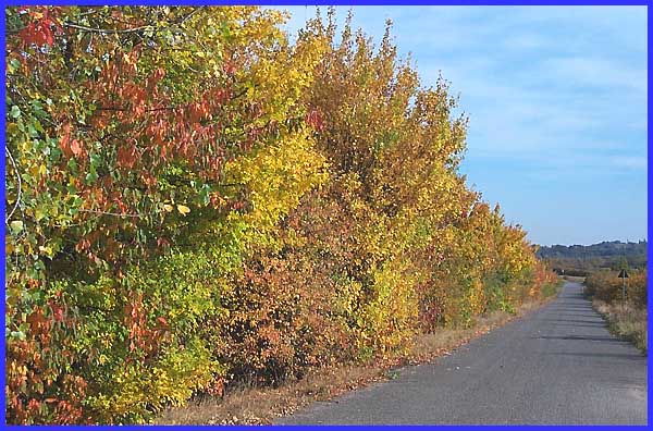
We had picked a good time of year to walk along this lane that
proved a delight to the ocular senses. It was just a pity that
those of the auditory kind were offended by the constant drone
of traffic on the busy A610 on the other side of the golden barrier.
|
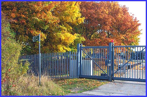
The directions in the booklet for the route we were following
advise that the lane should be followed to the "entrance
gates of Newthorpe Sewage Works". A surfeit of footpaths
and bridle ways meet in the vicinity of the works and there are
a number of gates across the lane but as this was as far as we
could go without authorised access it was here that we turned
left. I won't go into details but it was after this point that
the directions in the booklet became a little unclear which meant
we made an unplanned lengthy detour to return to our starting
point. I was not the flavour of the day!
|
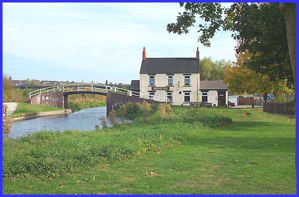
Our plan was to approach the Bridge Inn at Cotmanhay from the
left in this picture. Instead we approached along the Erewash
Canal towpath which can be seen through the bridge arch. We could
have continued along the canal to the Shipley Lock which was
the original plan but instead left the route here to return through
Cotmanhay to our starting point. The final stretch will have
to wait for another day.
|
