The Hermit's Walk - Part 02
w/e 21 May 2017
All of this week's pictures were
taken with a Kodak DX6490
For this second part of the Hermit's Walk we returned
to Hermit's Wood at Dale Abbey and picked up the route close
to the steps down from the Hermit's Cave.
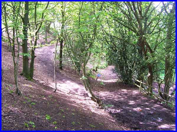
The path continues along the boundary of the wood at the foot
of the sandstone escarpment and both of the descriptive leaflets,
that is the original and reprinted versions, say to pass "through
yard of Church Farm". There is now however a sign at the
side of the path that says there is no right of way through the
yard and the alternative is to climb up the escarpment on a new
path to the left of the original ....
|
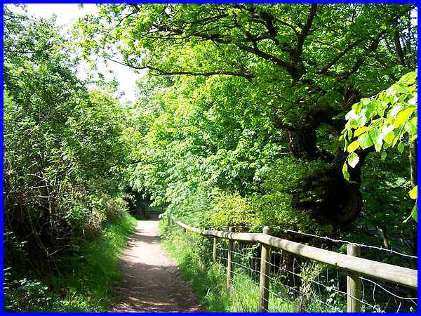
.... and then drop down again to pick up an existing path from
Ockbrook Wood.
|
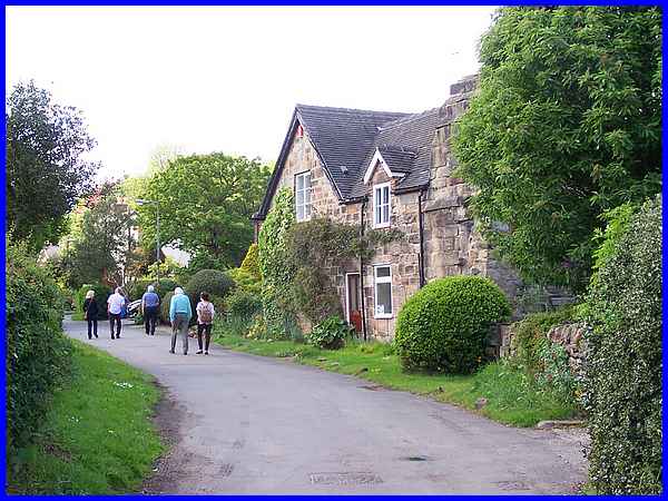
The path from Ockbrook Wood rejoins the original one through
the yard at the side of the former farmhouse.
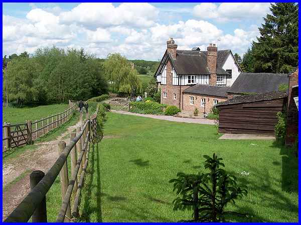
|
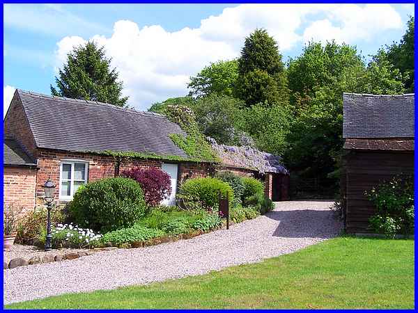
Now converted to a residential abode the path through the property
is still there but looks a lot different to when I walked through
it years ago accompanied by the sound of cows mooing and pigs
grunting in the barns and with poultry roaming free in the yard.
|
The semi-detached former farmhouse was also the Bluebell Inn
at one time and is famous of course for having a connecting door
to All Saints Church. This gave rise to the door being known
as the link between ‘salvation and damnation’ but temptation
was removed when it was bricked up in the 1820s.
|
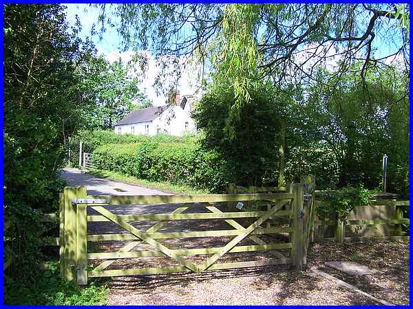
The path meets the lane through the village at this gate and
another gate a few steps further on leads into the field behind
the white cottage. The Dale Abbey Arch can just be seen from
here above the cottage.
|
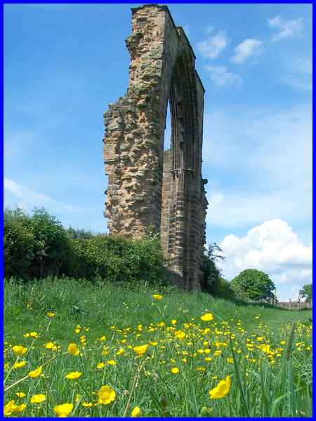
The footpath through the field allows for a closer inspection
of the arch which is all that remains of the East Window of the
Abbey after which the village is named. Before is dissolution
in 1538 the Abbey owned about 24,000 acres of land and here's
a sentence from the Hermit's Walk leaflet that I like. "Legends
tell of knights in armour and of unfound hidden treasures."
Today's treasures are all around in the landscape and nature.
|
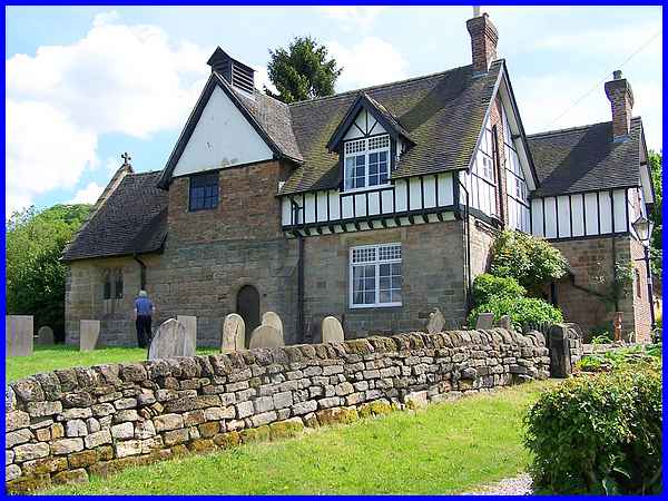
Returning to the lane which is called The Village the route now
passes Abbey House, a building that incorporates some of the
original stone from the Abbey.
|
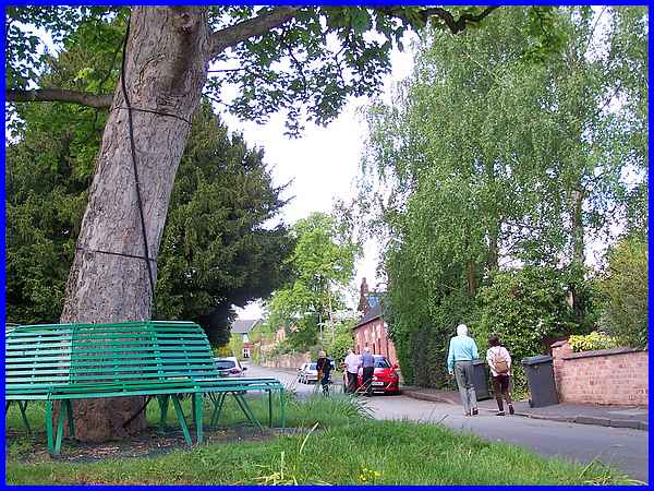
Turning right at the triangular island with a tree circled by
a seat that marks the junction with Tattle Hill, we walked along
The Village. For more detailed information about Dale Abbey village
itself I would point you in the direction of my Village Trail but as this is a "Country
Walk in Erewash" we continued to Moor Lane.
|
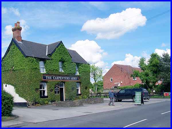
Facing down The Village is The Carpenters Arms, the village pub
that has timbered parts dating back to the late seventeenth century
although the front was built about 1880. Here the route is right
to Moor Lane and that is where we'll pick it up in Part 03.
|
